
Initialising · Services
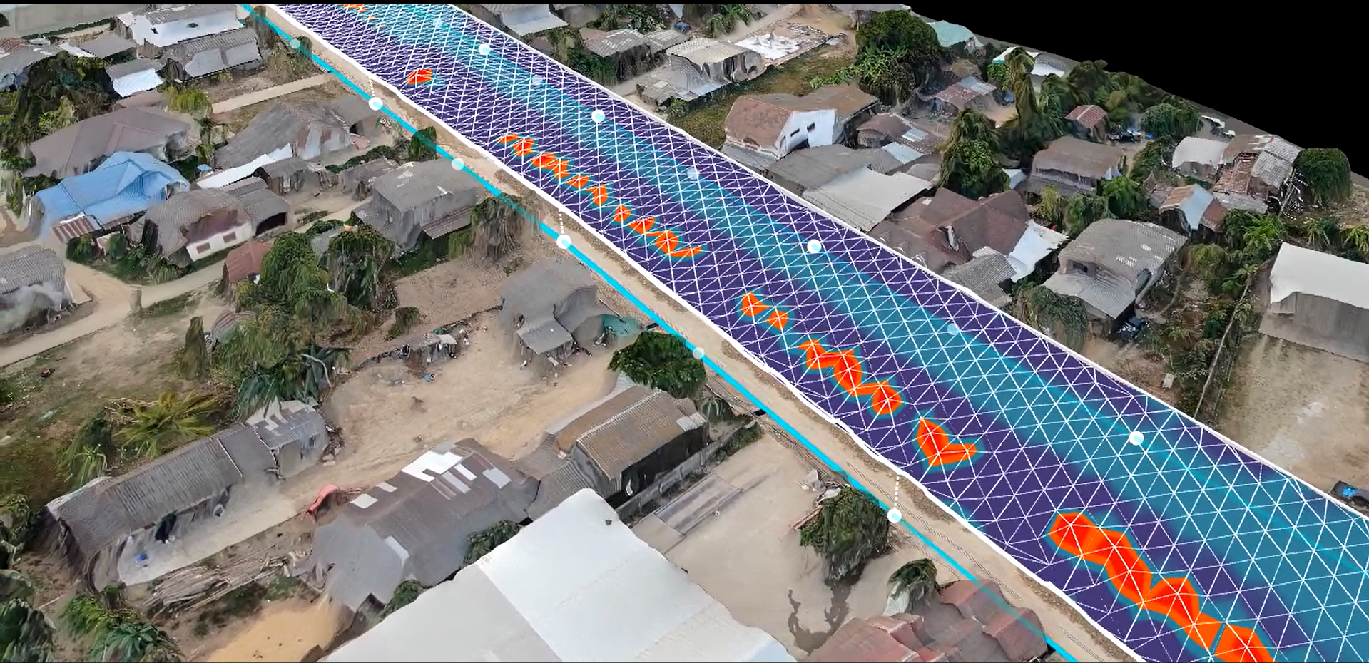
Tailored to meet the diverse needs of the road construction industry — from the hot-mix plant to the finished pavement, every module connects into a single platform.
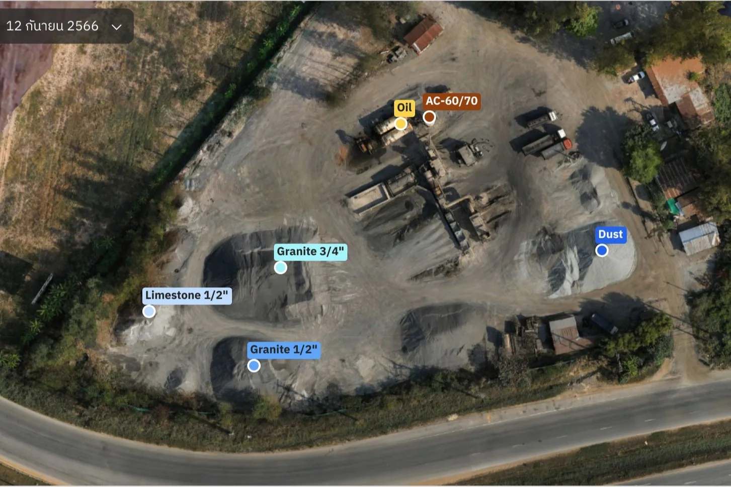
Gain visibility across your production process. Effortless real-time material tracking ensures seamless management from start to finish.
Watch materials move through production live, with no manual reconciliation.
One source of truth from the first tonne to the final dispatch.
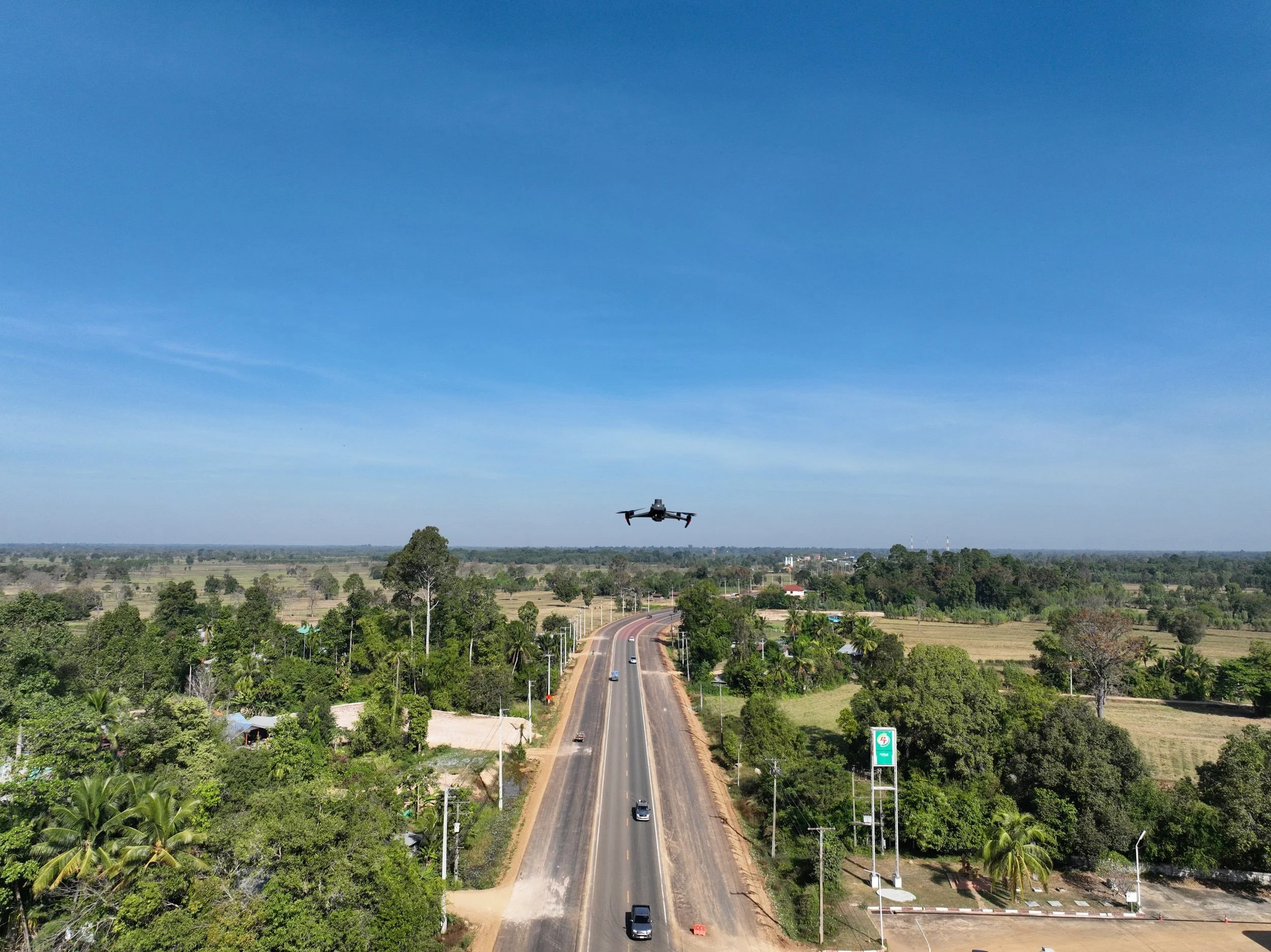
Connect the plant to the platform — integrate weighbridge data, control costs and monitor road progress so every batch and budget stays on schedule.
Seamlessly integrate weighbridge data into the Nila platform for accurate material tracking and streamlined operations.
Take control of your budget with precise cost management tools that minimise waste and maximise profitability.
Stay on top of your projects with detailed progress tracking, so you make informed decisions and stay on schedule.
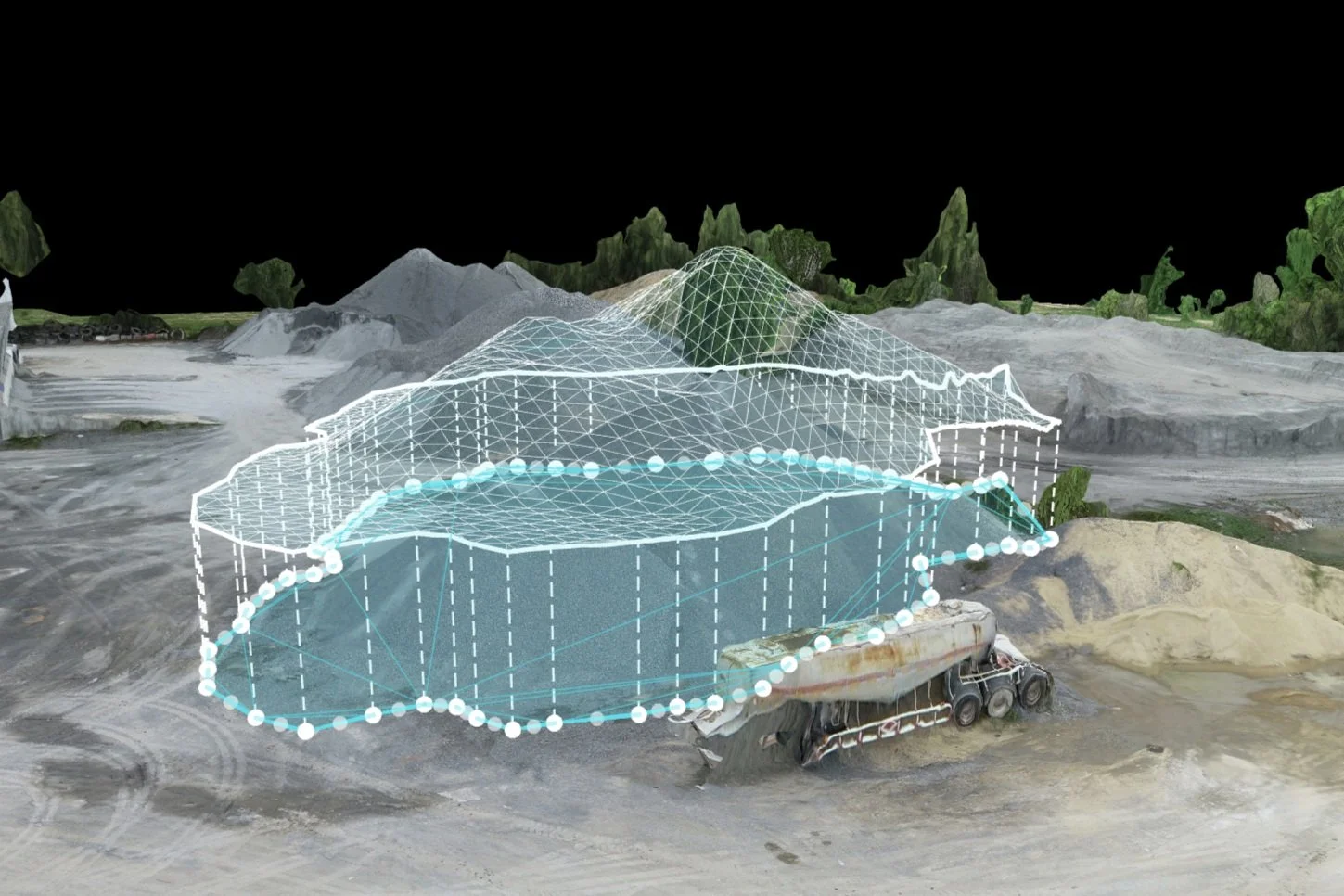
Keep projects moving with centralised reporting and measurement grounded in physical reality — not just what the ledger says.
Simplify reporting with a systematic approach that centralises data, making it easier to gather and analyse daily project insights.
Precisely measure stockpiles to determine quantities using physical measurements rather than relying solely on accounting records.
Survey more, visit less. Drones turn aerial imagery into measurements you can act on — across every project, on one screen.
View the progress of multiple road projects on a single screen, reducing the need for physical site visits and enhancing overall efficiency.
Optimise earthwork with precise drone-based cut and fill measurements, ensuring efficient resource allocation and cost control.
Book a free consultation and we'll map these services to your projects — plant, site and sky.